CSC provides accurate mapping for planning and design tailored to end use requirements. Chris has led and worked alongside numerous survey crews for some of the most prestigious engineering. architectural and survey contracts in Ireland. These include road, rail, airport and both large and small scale building/commercial projects. Ground and aerial surveys options available
All of our survey teams are led by surveyors with 3rd level relevant qualifications and with many years relevant experience.
Site topographical mapping involves the production of maps, plans and elevations which are to scale and based on accurate measurement.
Maps should accurately represent the features and details of the site of building being surveyed.
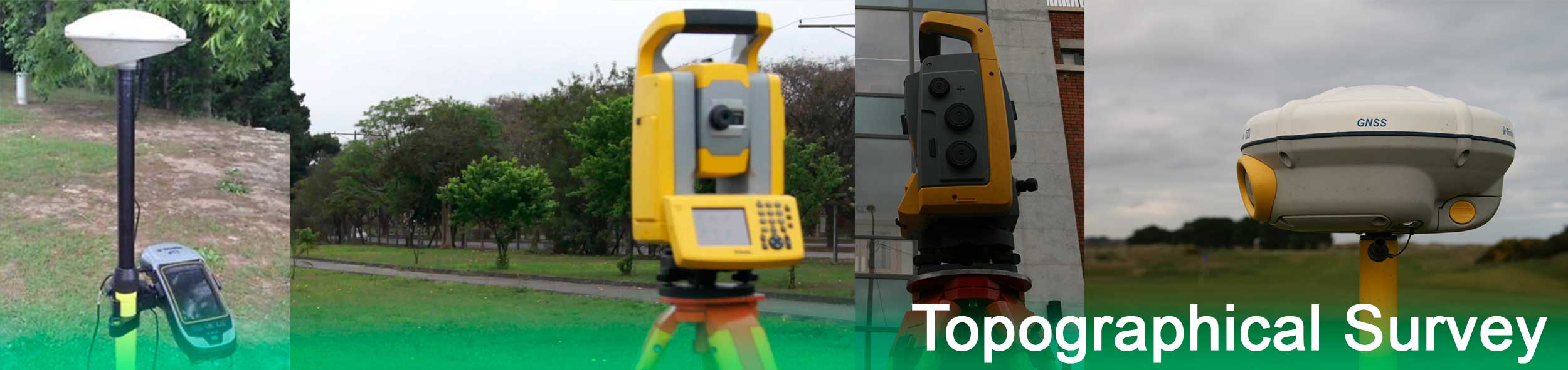
We utilise survey equipment best suited to each project employing survey methods that meet the client's accuracy specifications and budget. Using current generation total station, level and/or GPS equipment and processing software allows us provide accurate mapping in short timescales.
Having worked at the leading edge of survey software development for many years and on some of the largest survey projects in the country we pride ourselves in the production of quality compatible data.
Chris's engineering experience enables CSC to provide excellent advice in specifications and help to tailor surveys to provide cost effective and phased targeted solutions.
We can also provide aid in resolving existing boundary issues or confirm the land parcels indicated on Land Registry/Property Registration Authority maps comply with boundaries onsite.
- Detailed Site Surveys
- Check Surveys
- Elevation surveys
- Boundary & Legal Mapping
- Level Surveys
- Sections and volume analysis
- Monitoring surveys
- GPS Networks
We provide all surveys in digital format ready for immediate use in both 2D & 3D.